
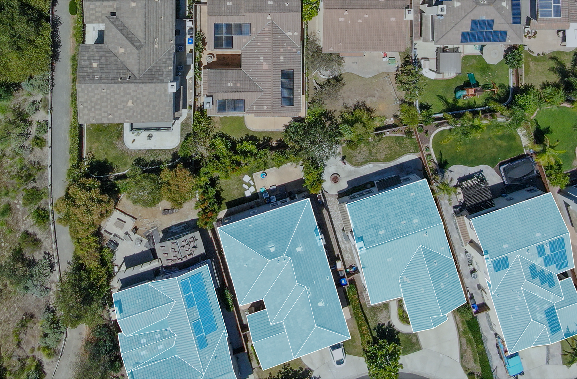
Mapping a San Francisco Roof From the Air Instead of Guessing From the Ground
Most full roof replacements we are asked to bid started with a leak nobody could trace. Water shows up over an office in a Financial District tower or drips into a warehouse bay off Cesar Chavez Street, a crew goes up to look, patches what they can see, and the building leaks again two months later in a completely different spot. The reason is that water rarely sits where it gets in. It enters at a failed seam or a tired flashing, runs sideways inside the insulation along the deck, and pools somewhere else entirely. Walking the roof finds the obvious damage and misses the hidden saturation. We fly the roof instead, and the picture we bring back is what separates a targeted repair from a tear-off you may not need.
A drone fitted with a high-resolution camera and a calibrated thermal sensor covers an entire low-slope roof in one pass and produces a single continuous record of it. That matters more in San Francisco than in flatter, sunnier markets, for reasons specific to this city.
Why This City Is Hard on a Roof Inspector
The marine layer sets the schedule. Fog often lingers through the morning and rolls back in by late afternoon, which leaves a narrow window for a thermal scan that depends on clear sky and radiant heat. Downtown and SoMa are packed tight, with parapets, mechanical screens, and taller neighboring towers throwing shade across the roof field and complicating both the flight and the imagery. And a lot of the commercial stock here, from the brick-and-timber buildings in the Dogpatch to the mid-rise blocks around Market Street, has internal light wells, setbacks, and adjacent structures that make a ladder-and-binoculars inspection close to useless. Getting above all of it with an aircraft is the only way to see the whole roof consistently.
The Thermal Pass Is the Part That Drives the Money Decision
A sharp visual image shows you what the surface of the membrane looks like. Useful, but it is the infrared pass that tells you what is happening inside the assembly, and that finding is what decides how much you spend. Wet insulation carries more thermal mass than dry insulation, so it absorbs heat through a sunny day and then releases it slowly. In the cooling window after sunset, the saturated areas stay warm and glow in the thermal image while the sound roof has already shed its heat. That contrast is the moisture map. Instead of guessing, we can tell you that roughly a fifth of the field is wet and clustered around three drains, which is the case for a partial replacement and recover rather than ripping off a roof that is mostly fine.
Where San Francisco Roofs Pick Up Trapped Moisture
Membrane breaches are only one path in. The damp marine air keeps low-slope roofs from drying, condensation builds under poorly ventilated assemblies, and on a roof with sluggish drainage the water that gets in has nowhere to drain and nothing to evaporate it. Once it is inside the insulation it migrates across the deck, which is exactly why the indoor stain is such a poor guide to the entry point. The thermal map shows where the water sits today; the visual imagery layered over it shows the seams, laps, penetrations, and flashings that most likely let it in. Together they point a repair at the cause and not just the symptom.
Flying Legally and Safely in San Francisco Airspace
You cannot simply launch a drone over downtown. A large part of the city sits inside controlled airspace tied to SFO and other nearby fields, and a commercial flight requires an FAA Part 107 certificated remote pilot plus, in most of these zones, airspace authorization through the LAANC system before the aircraft leaves the ground. We secure that clearance as part of the job. We also plan around what actually goes wrong on an urban flight: wind that channels and gusts between tall buildings, line-of-sight blocked by taller neighbors, traffic and pedestrians below, and the rooftop units, antennas, and guy wires an automated flight path has to route around. The reason to do all of this correctly is simple. Nobody has to step onto a roof of unknown condition to get a complete assessment, which removes both the membrane-damaging foot traffic and the fall exposure of putting a crew onto a wet, parapet-edged low-slope roof.
What a Flight Delivers
- A complete high-resolution visual record of the whole roof surface, including every drain, seam, lap, curb, and penetration flashing.
- An infrared moisture map that locates saturated insulation and shows its extent across the field.
- Accurate roof-area and feature measurements pulled from the imagery for a repair or replacement specification.
- GPS-tagged photo documentation formatted for commercial property adjusters after wind or hail events.
- A plain written recommendation, monitor, spot-repair, partial replace and recover, or full replacement, with the wet square footage behind it.
Documentation That Holds Up for Claims and Capital Planning
After a storm moves through the Bay Area, an adjuster wants evidence, not adjectives. Geo-tagged imagery pins damage to specific roof coordinates and lets the carrier evaluate a claim without a separate site visit, which moves it along faster. For a property manager running a portfolio across the city, the same flight feeds the reserve study directly: the moisture map says whether a roof is this year's capital item or a three-year watch, and that ranking keeps a building budget honest. Because the eventual specification is built from measured conditions instead of a tape measure and a clipboard, the project sees fewer surprises and fewer change orders once a crew is on site.
How We Run a Flight and How We Confirm What We Find
A real inspection is more than launching an aircraft and handing over a folder of photos. We start by checking the airspace for the address and filing for authorization where the location demands it, then we wait for the right atmospheric window, which here means a clear afternoon followed by an evening with enough radiational cooling for the thermal contrast to develop. The aircraft flies a programmed grid at a fixed altitude so the frames overlap and stitch into one continuous orthomosaic, with the infrared layer captured on the same path. Thermal imagery can throw a false positive now and then, a warm rooftop unit or a patch of recent ponding, so before any moisture finding goes into writing we cross-check the suspect zones against the visual imagery and, where access allows, confirm a sample with a moisture probe. That verification step is what keeps the report honest and keeps an owner from cutting into a section of roof that was never actually wet.
When a Drone Is the Right Tool, and When It Is Not
Aerial inspection earns its keep on large low-slope commercial roofs: warehouses, distribution buildings, retail boxes, big office floorplates, multi-building campuses. On a small or steeply pitched roof a careful hands-on look is faster and just as complete, and we will tell you so. For most San Francisco commercial buildings past roughly ten thousand square feet where you need to know what is really happening inside the assembly, the flight is the more thorough and the far safer choice. Send us the building location and what you are seeing, and we will tell you whether a flight is the right move and what the airspace looks like over that block.
Questions About Drone & Infrared Roof Inspection
What changes the scope?
Access, wet insulation, deck repairs, edge metal, drain work, occupied-building constraints, disposal, and code documentation can all change the final path.
Can the building stay occupied?
Often, yes. The scope still needs rules for loading, noise, odors, tenant notices, daily dry-in, and emergency contact responsibilities.
When is coating realistic?
A coating is realistic only when the roof is dry, cleanable, compatible, properly detailed, and still structurally sound.
What should ownership receive?
A usable roof file should include photos, observed conditions, assumptions, near-term repairs, capital triggers, and the recommended next step.